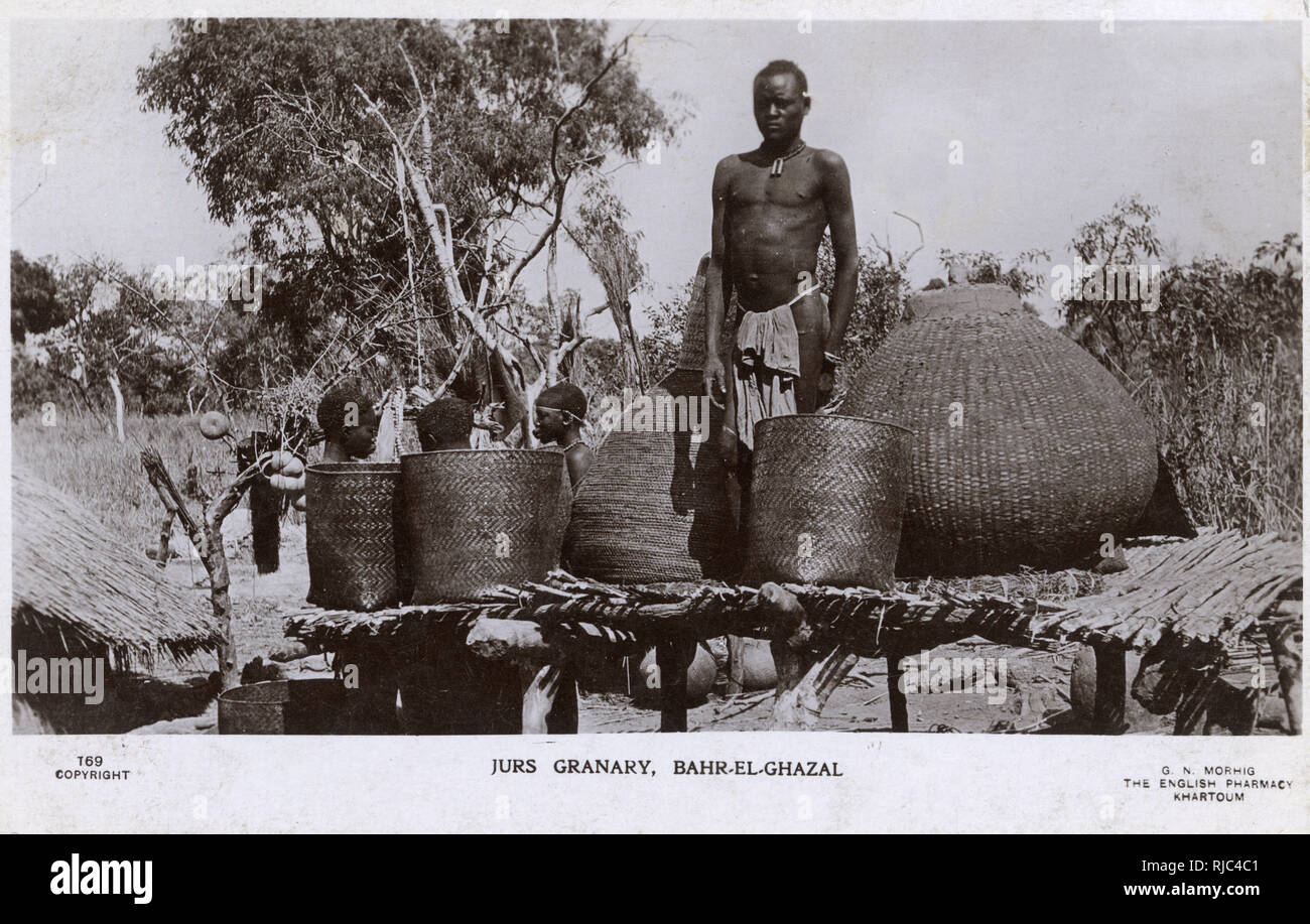
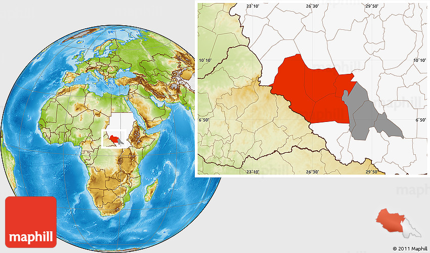
Il Bahr al-Ghazāl Settentrionale (in arabo شمال بحر الغزال?, Shamāl Bahr al-Ghazāl) è uno dei dieci stati del Sudan del Sud. La capitale è Aweil.
Geografia fisica
Copre una superficie di 30.543 km² nella regione di Bahr al-Ghazal. Confina a nord con il Darfur Meridionale, a ovest e al sud con il Bahr al-Ghazal Occidentale e a est con il Warrap, l'Unità e Abyei.
Storia
Per via della sua vicinanza alla regione del Kordofan e della presenza di una ferrovia strategica, il Bahr al-Ghazal è stato anch'esso danneggiato dalla Seconda guerra civile sudanese. Le ostilità ebbero luogo durante il passaggio di convogli di treni governativi che andavano dalla regione del Kordofan verso la località di Wau.
Bibliografia
- Francis M. Deng, 1995, War of Visions, Conflict of Identities in the Sudan, (Washington D.C.: Brookings)
- Human Rights Watch, 1999, Famine in Sudan, 1998, The Human Rights Causes-Carestia nel Sudan nel 1998, Violazioni dei Diritti Umani, (New York, Human Rights Watch).
- Dave Eggers, 2006, What is the What, (New York, Vintage Books).
- David Keen, 1994, The Benefits of Famine, A Political Economy of Famine and Relief in Southwestern Sudan, 1983 - 1989, (New Jersey, Princeton University Press).
Collegamenti esterni
- John Ryle, Jok Madut Jok and Fergus Boyle, 2003, Sudan Abduction and Slavery Project, Abductee Database 2003 Report
- "Northern Bahr el Ghazal State gets in new cabinet" [1]